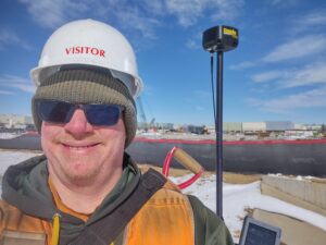
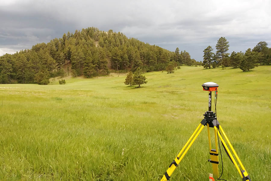
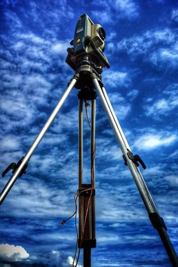
 Latitude Land Surveying, LLC, is a local land surveying firm with nearly 40 years of combined land surveying experience in multiple states including Idaho, Colorado, Pennsylvania, Arizona, Wyoming, California and Nevada. We are a proud veteran-owned business that offers active duty, retired and first responder discounts.
Latitude specializes in boundary, topographic and ALTA/NSPS surveys. Our surveyors utilize state-of-the-art equipment and software to prepare all of your surveying needs and deliver you the highest quality product in a timely manner.
We hear all the time, “My real estate agent said I own to that tree line and/or fence line.” Or “The GIS map shows my neighbor’s driveway is on my property.” This can sometimes be true; however, realtors are not required to know exact property boundaries and GIS applications are approximations only.
Sometimes realtors are using only GIS maps or word of mouth. Depending on the area, GIS can differ anywhere between a few feet to a few hundred feet. GIS systems are not meant to show precise and accurate property boundaries. Their purpose is to be close enough for property tax purposes and are usually scaled in with aerial imagery.

Land Surveyors are the only ones who have the experience, training and equipment capable of measuring land at the level of precision that produces accurate results. A survey is a lot more than finding boundary markers and taping a line on the ground. Each boundary requires specific methodology and the ability to explain that methodology. Not only are land surveyors the only ones that have this training, but are also the only ones allowed by law to do it.
When a surveyor is retracing property lines, we are not just measuring. We are also reviewing the entire body of evidence surrounding a specific property so that the surveyor’s opinion can be defended in a court of law. There is evidence that requires examination and boundary decisions that even lawyers cannot make without a surveyor. Official surveys are recorded public documents—when your land is surveyed, the survey has legal standing. While surveyors do not practice law, their opinion on boundary location evidence is admissible in courts.
Your realtor, GIS databases, architects and most engineers cannot offer these services. Your landscape contractor, your general contractor, your pool guy, or your neighbors’ computer-savvy kid cannot offer this!

Your landscape contractor, your general contractor, your pool guy, or your neighbor’s computer-savvy kid cannot offer this!

Cameron Forth
ID PLS 20914
CO PLS 38390
PA PLS SU075650
Justin Ault
CO PLS 38807
LSI
Copyright © 2023.
All rights reserved.